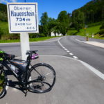
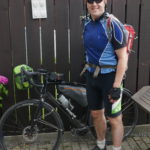
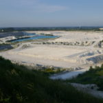
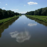
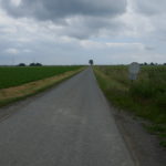
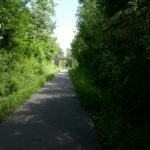
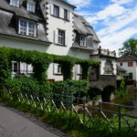
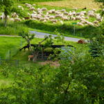
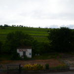
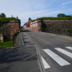
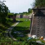
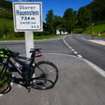
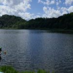
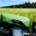
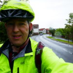
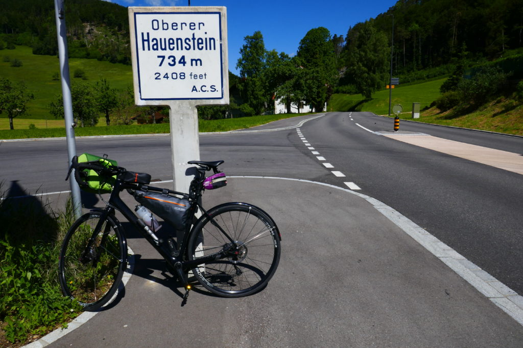
Well started on time just after 8. A bit chilli but managed with short sleeve. Took it easy but it went very well until Oberer Hauenstein 734m where I left my bike to take photos. Realised the weight distribution is not like normal and made some big scratches 😶on the frame as it fell.
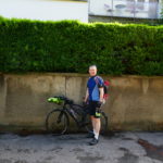
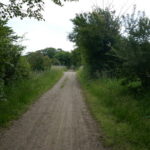
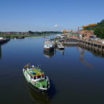
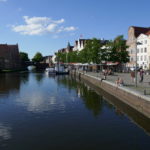
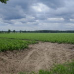
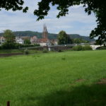
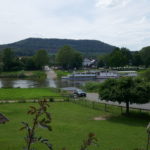
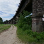
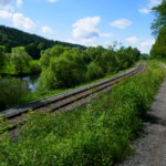
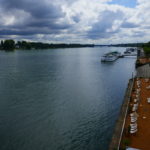
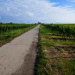
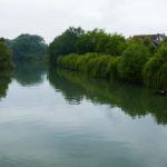
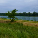
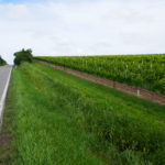
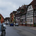
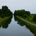
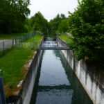
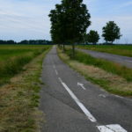
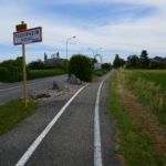
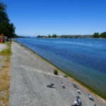
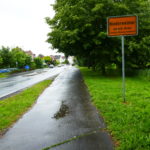
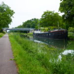
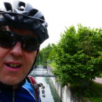
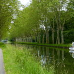
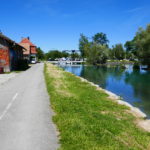
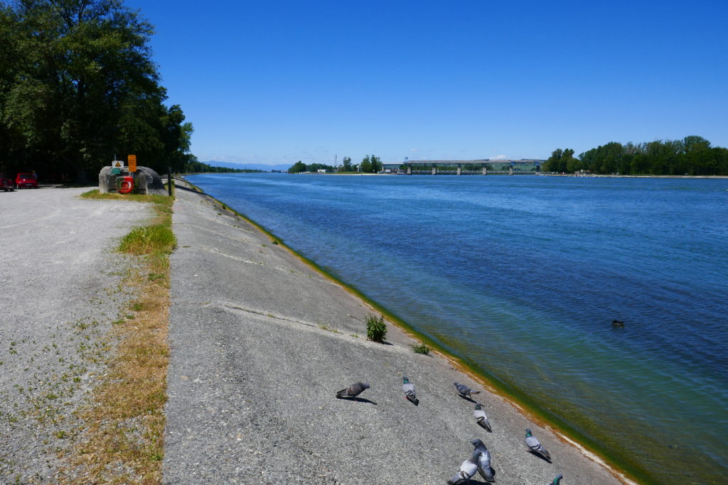
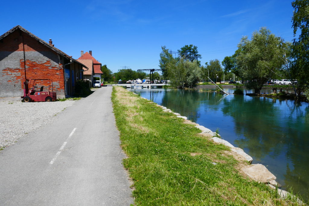
Had lunch in Frenkendorf after 86km just at 12. Through Basel was a nightmare since my gps sent me through big roads with no bikepaths. That continued in Germany and eventually also into France.Following an older couple I found some canals with very good bike paths. Did a false turn somewhere (ignoring the gps) and ended up doing a 12km detour. All in all arrived at the hotel at 15.30 after 139.1km.
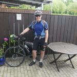
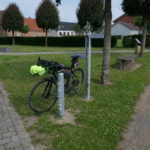
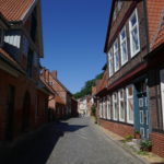
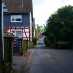
Tired and my buttocks sour. Othmarsheim although old but completely closed. Somehow I don’t fancy biking to a Restaurant 10 min car drive away.
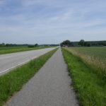
Route:
Max elevation: 727 m
Total climbing: 1274 m
Elevation gain: 805m