Day 6: Briançon to Jausiers – Col de Vars
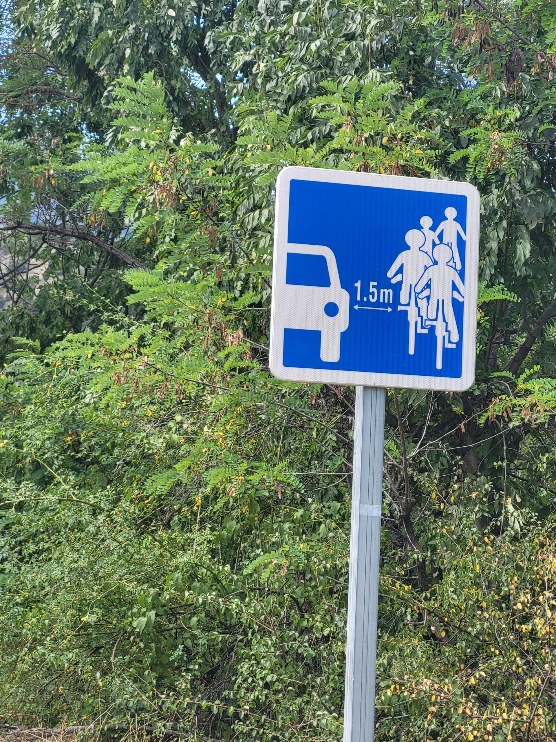
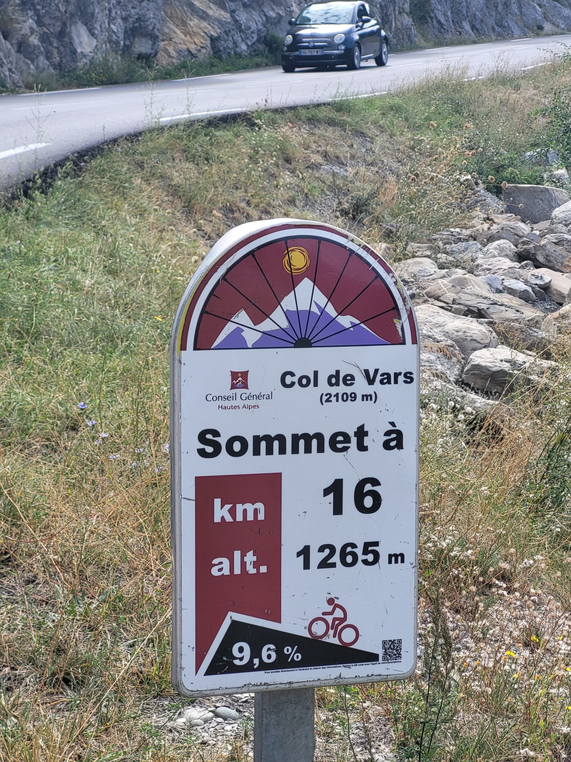
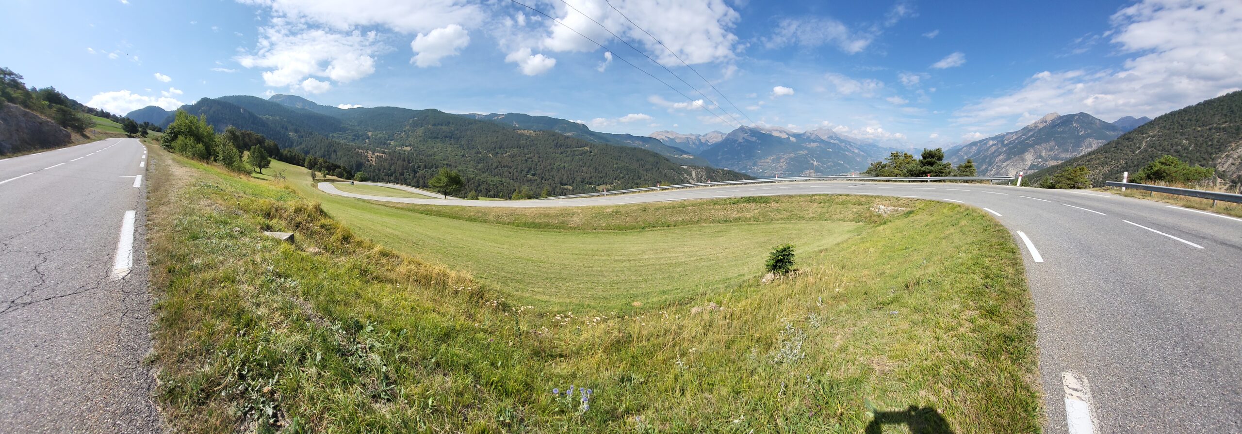
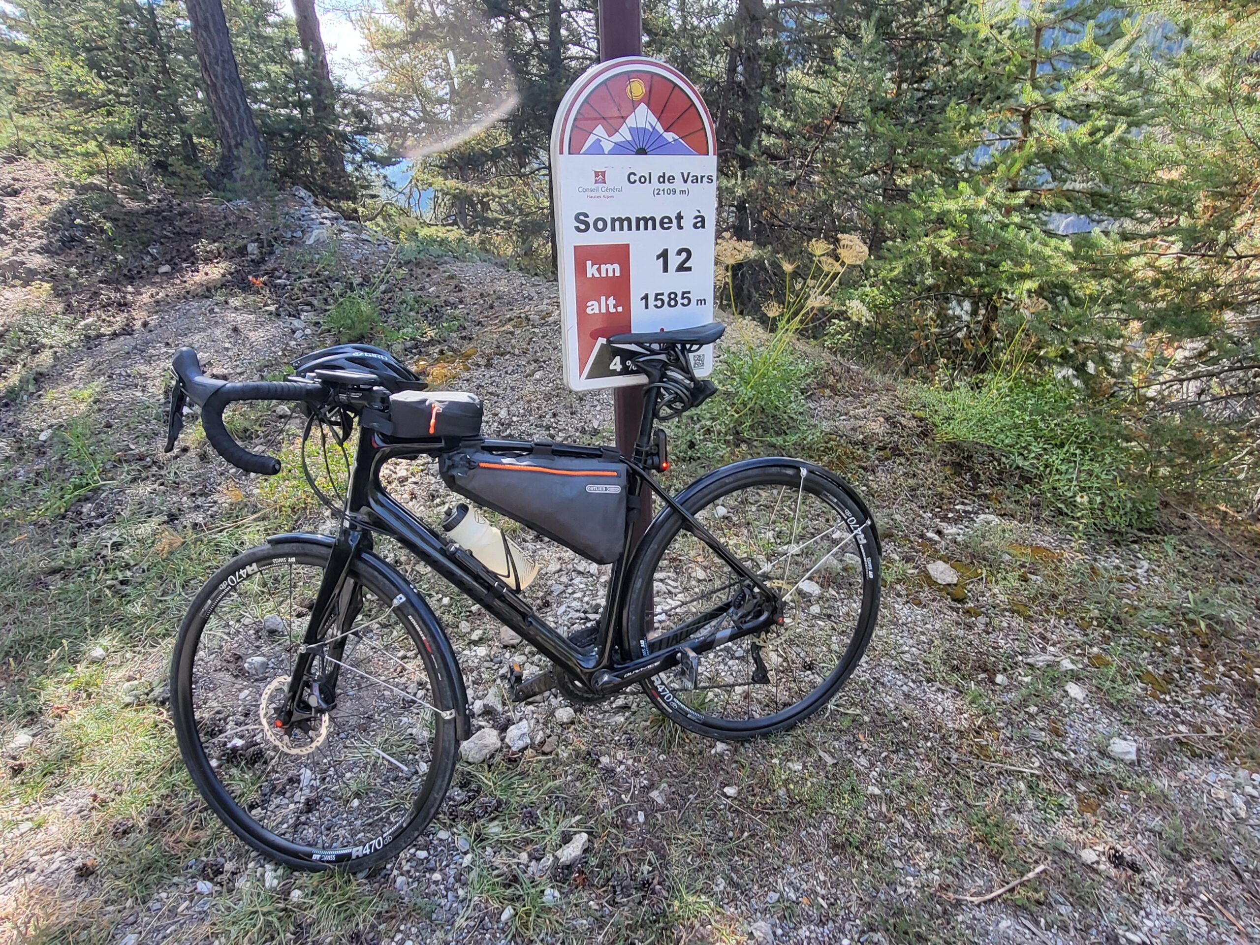
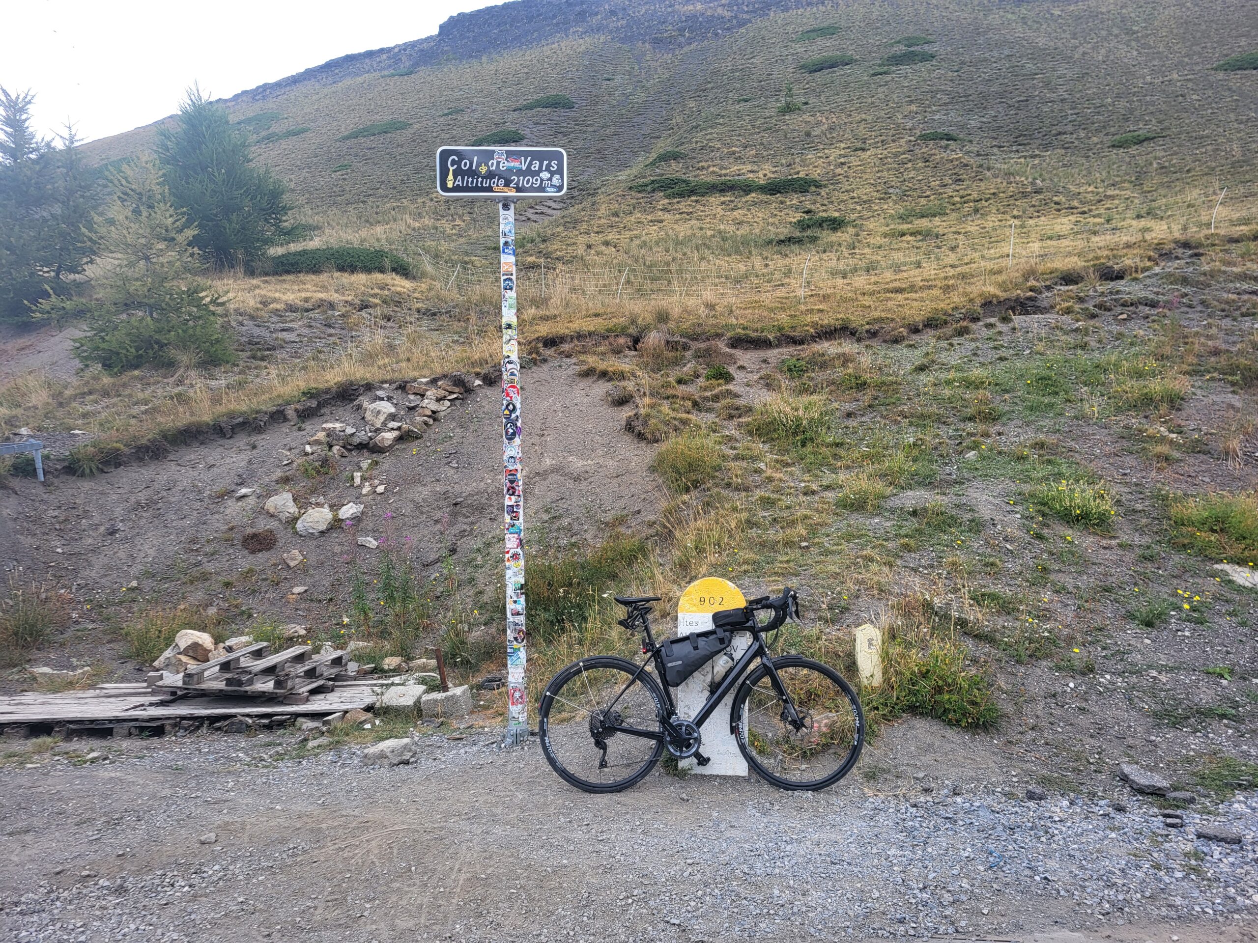
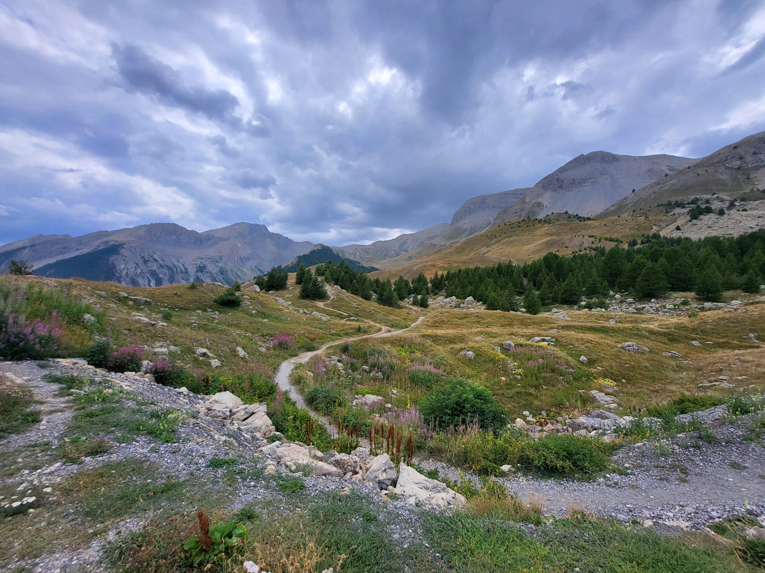
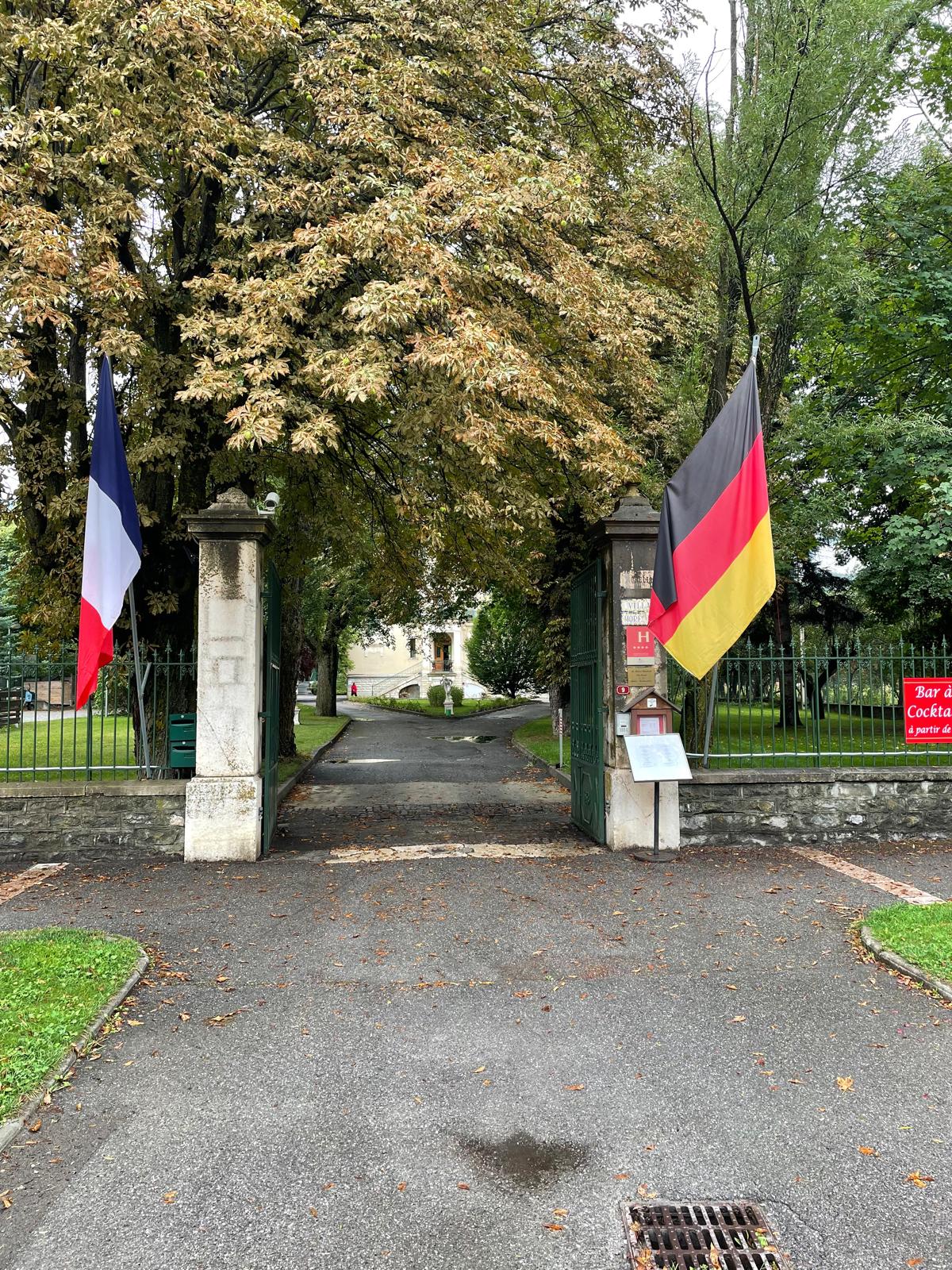
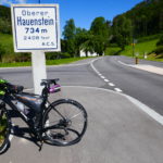
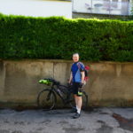
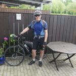
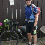
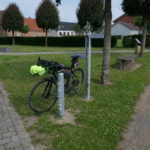
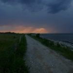
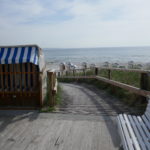
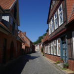
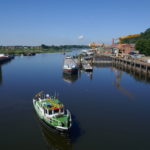
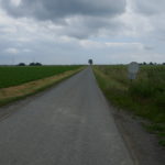
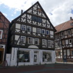
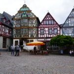
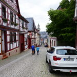
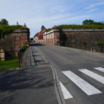
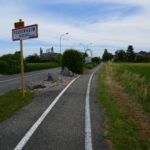
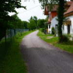
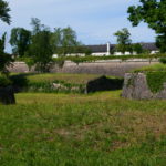
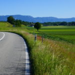
This day I’m going over the Col de Vars. It starts out with a long bit to the start of the climb, which means from Briançon I took the main road five kilometers out of town, and then I turned on to a narrow road on the side. This unfortunately also means that it goes a little bit more up and down, which it did, but you avoid all the traffic on the main roads. The main roads, they do have painted biking lanes. The problem with them is that that’s where all the water and the small pebbles land, and therefore driving on the main roads it’s advisable to actually drive a little bit in on the normal road, and then if a car arrives then go out just when they pass. Anyway, back to the side roads going up and down. The final 10 kilometers I had to go on the main road, but that was because I know the side roads there, and they are even steeper. Anyway, I arrived at the bottom of the col, at the town Gulliestre, after one hour and 45 minutes, 36.6 kilometers, and then it really starts to go upwards. Col du Vars, I know from last year, it’s quite steep in the beginning, and it flattens out a little bit at the end, but only a little bit, and yeah, up it went. Steepness up to 11-12 percent, and it’s very difficult to see where you’re going in the sense of the mountains there. So there’s so many cliffs here and there. Quite early I realised Col de Galibier was still in my legs. After about 11km it flattens out and it even at one point goes a little bit down, and then it goes up to the skiresort Vars, but at that point I was really lacking food, I was hungry, and I was completely lost of energy. So in Vars I had to make an emergency stop at a snack bar, where I met some guys from Zurich, they were doing literally the same tour as I am. I had a panini and 1.6 liters of drinks, and then it turned out that just when I was about to leave Carsten, he was coming in as well, in the car of course, and so I went up the last five kilometers to the Col de Vars 2109m , took a couple of pictures, standard ones of the sign, and then I started the descent to Jausiers, which is 23 kilometers, and that was a quite funny descent, quite good, the road was quite good, it was not very busy, and I descended 11 kilometers. I was a little surprised by two tunnels. The it got warm so the wind jacket was stowed away. 2km later it started raining heavily so I had to stop and take all the rain gear on. Of course I biked for half a kilometer, and then the rain stopped, but then I couldn’t be bothered to take it off again and put it into my bag, so I just drove the last the last nine kilometers to Jausiers in the rain gear, which was quite hot, and arrived at the Four Star Hotel. This was one of the few options that was left when I had to book, but it was a nice hotel with a sauna, pool and at least they have a huge bar, and a pool. Carsten arrivedabout 15min later. It started to rain again. The restaurant at the hotel was a fancy one and I needed pasta not French cuisine. So we went into town 75m long is the main street. All the restaurants and the supermarketwere closed. So we took the car to the next town, Barcelonette, and went to a bit alternative restaurant in the middle of the street, where they just put out like these small pavilions, so even if it was raining and cold, you could sit in there, it was quite nice. It was the end of a good day: Varm and sunny in the morning and cloudy cold and rain during late afternoon and evening.
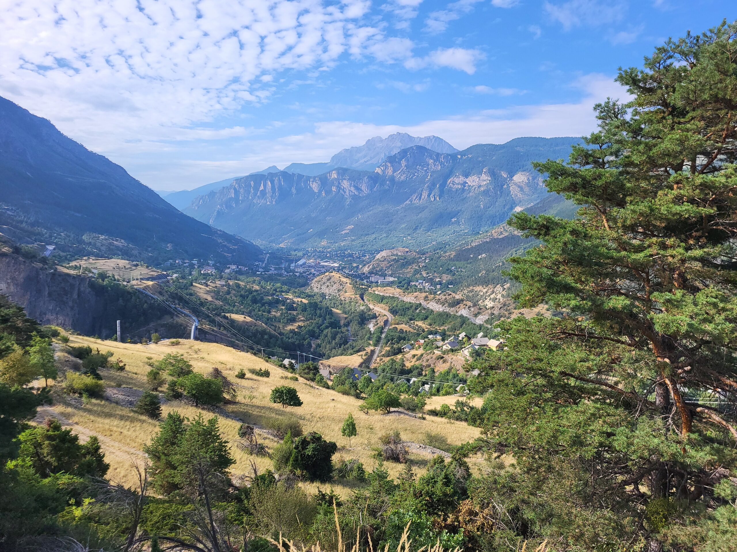
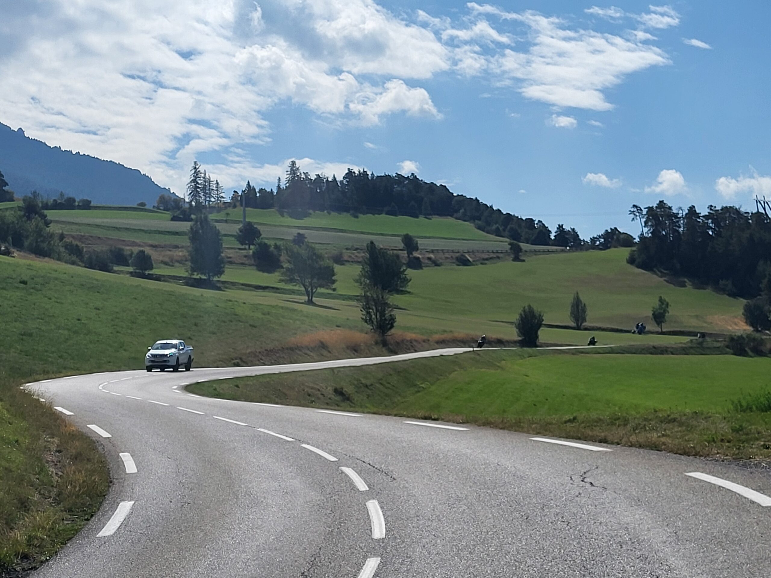
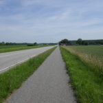
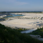
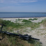
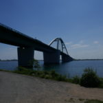
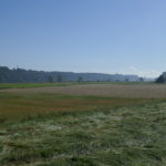
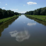
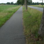
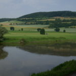
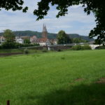
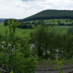
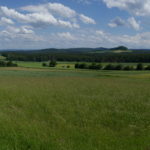
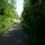
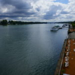
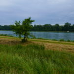
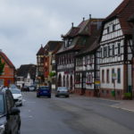
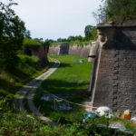
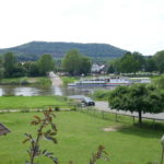
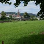
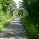
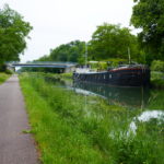
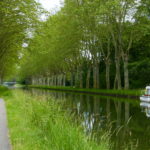
The valley West of Briançon
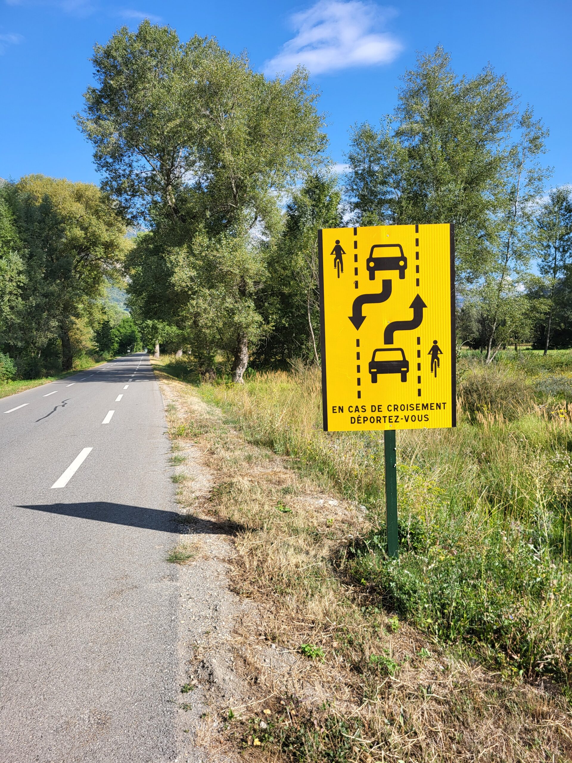
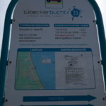
Instructions
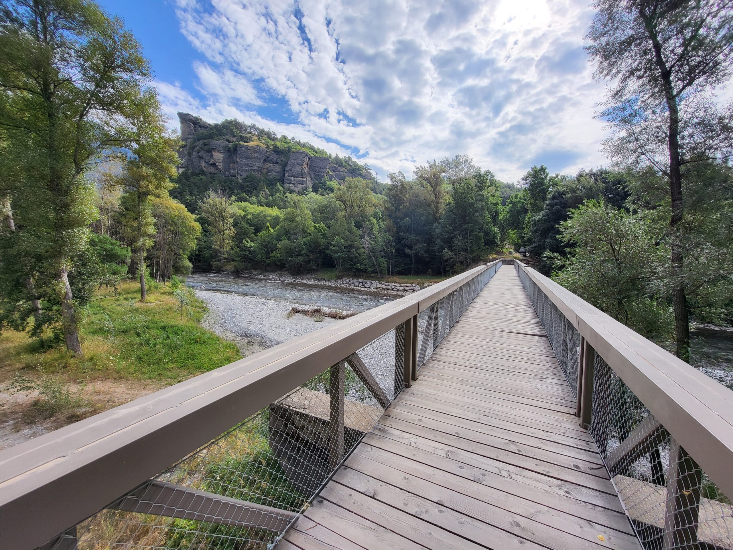
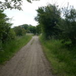
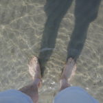
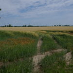
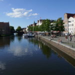
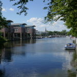
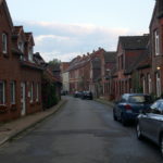
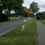
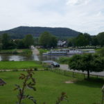
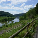
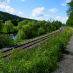
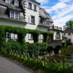
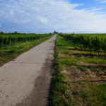
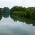
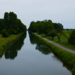
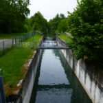
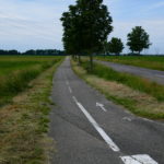
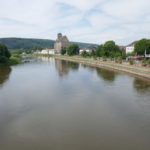
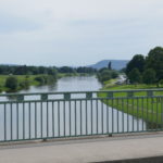
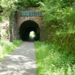
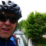
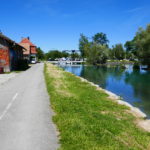
Crossing a small river just by Guillestre and before the climb to Col de Vars starts.
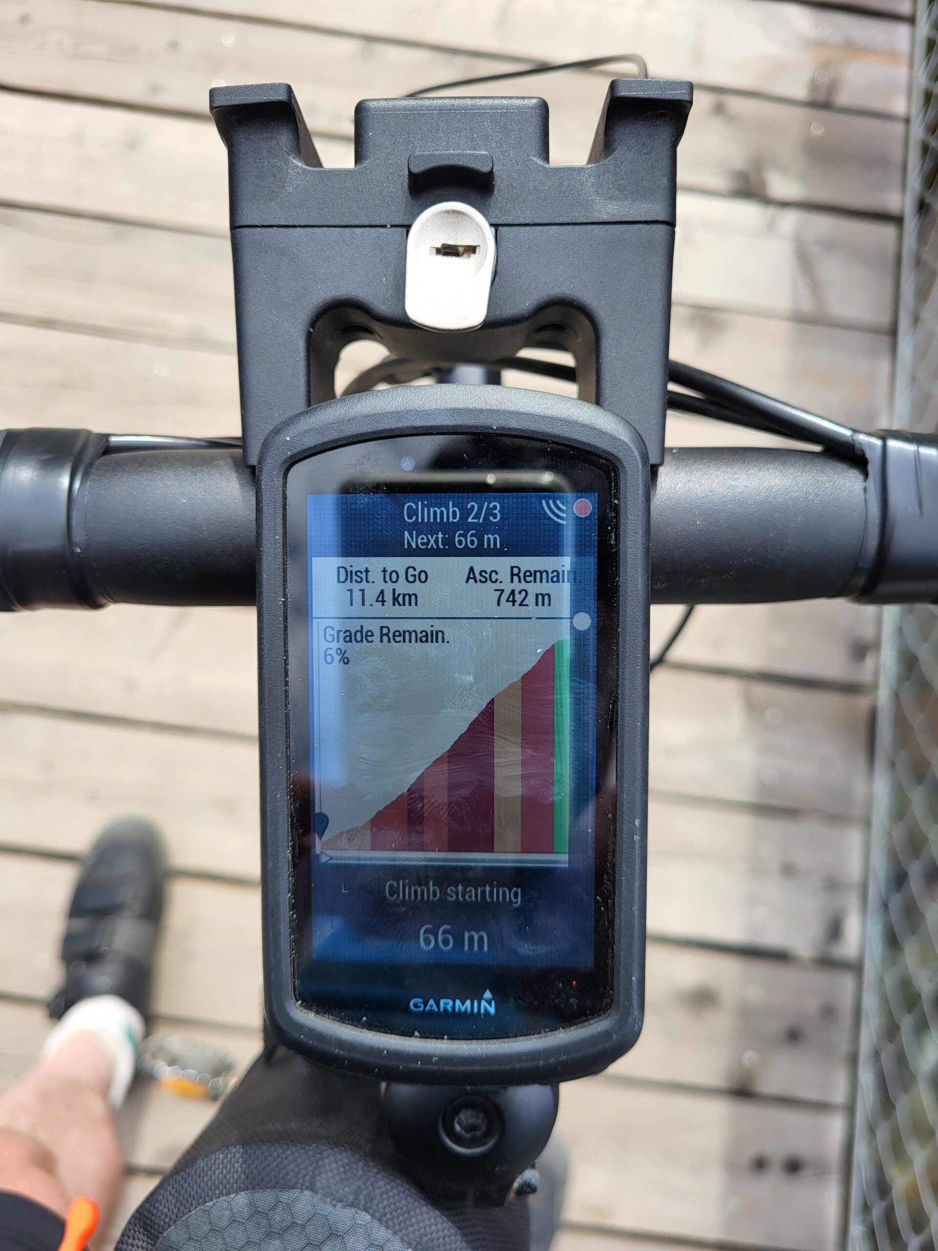
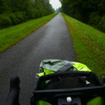
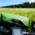
As a friendly reminder from my bike computer. The dot on the right-hand edge of the screen shows something is approaching from behind. It is the bike radar working.
Max elevation: 2092 m
Total climbing: 1694 m


Leave a Reply