Day 7: Jausiers to Auron – Col de Bonette
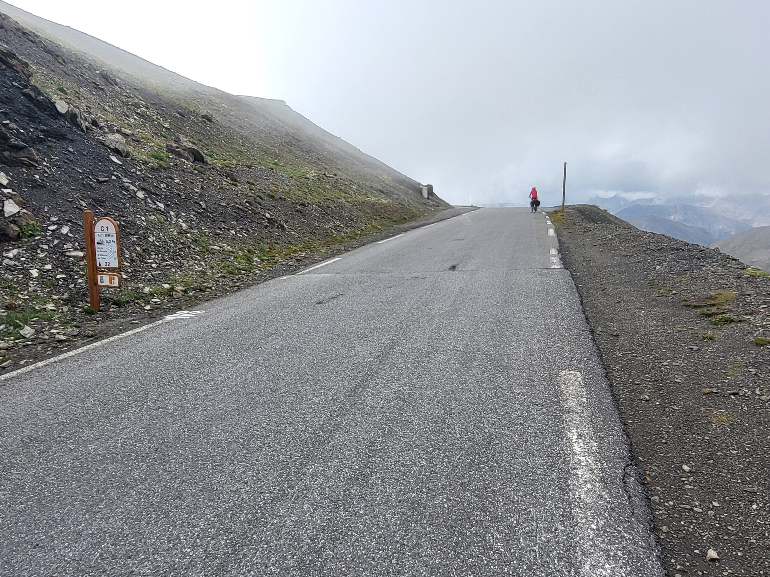
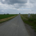
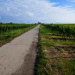
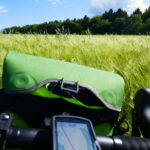
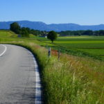
Col de Bonette 2802m – the highest roadpass in the alps. I didn’t need any navigation – only one route up and another down on the other side. It starts in Jausiers and there is 23 km and 1550m up to the 2nd. Col. There is a Col about 1km before the Bonette at 2715m.
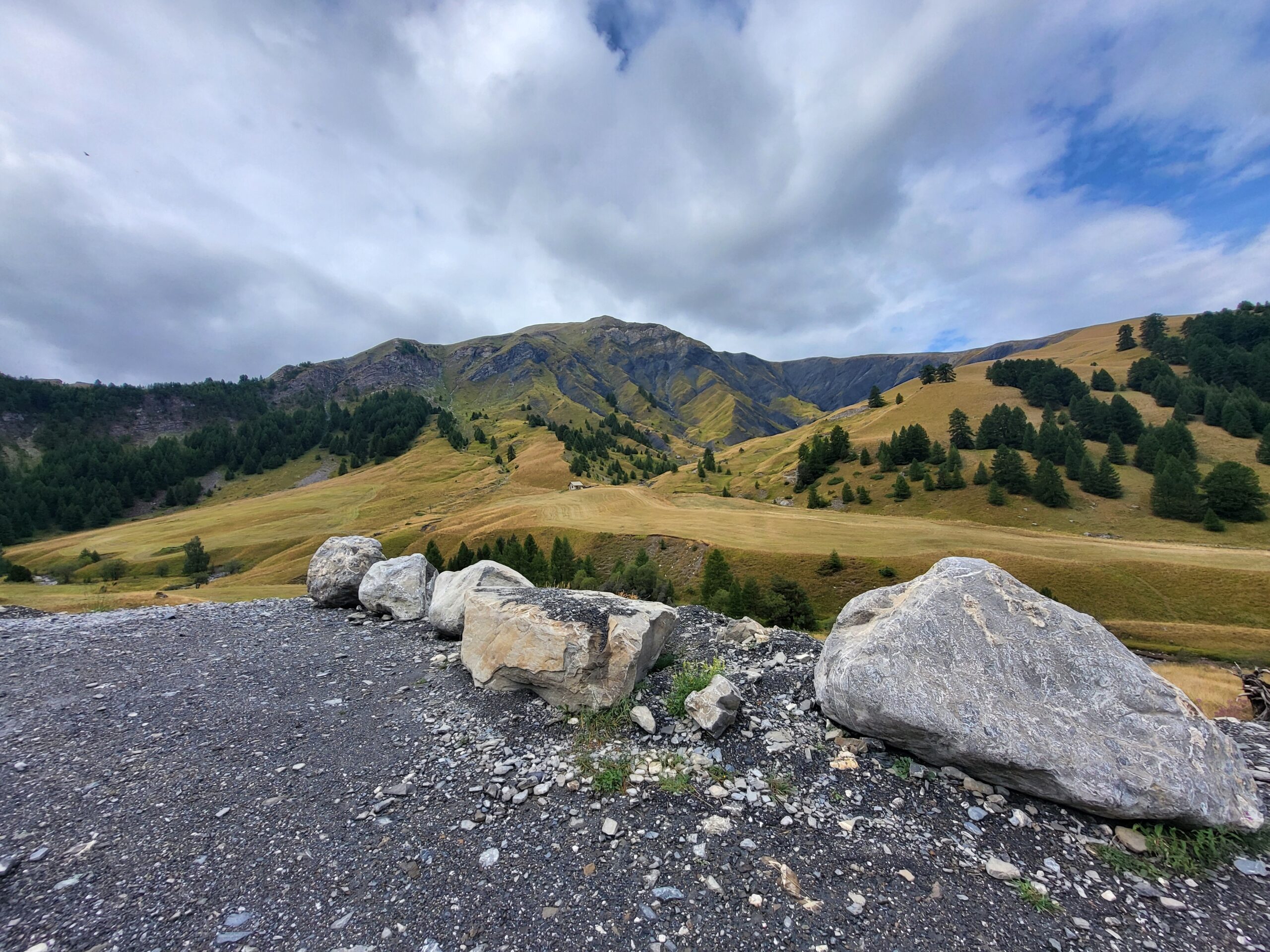
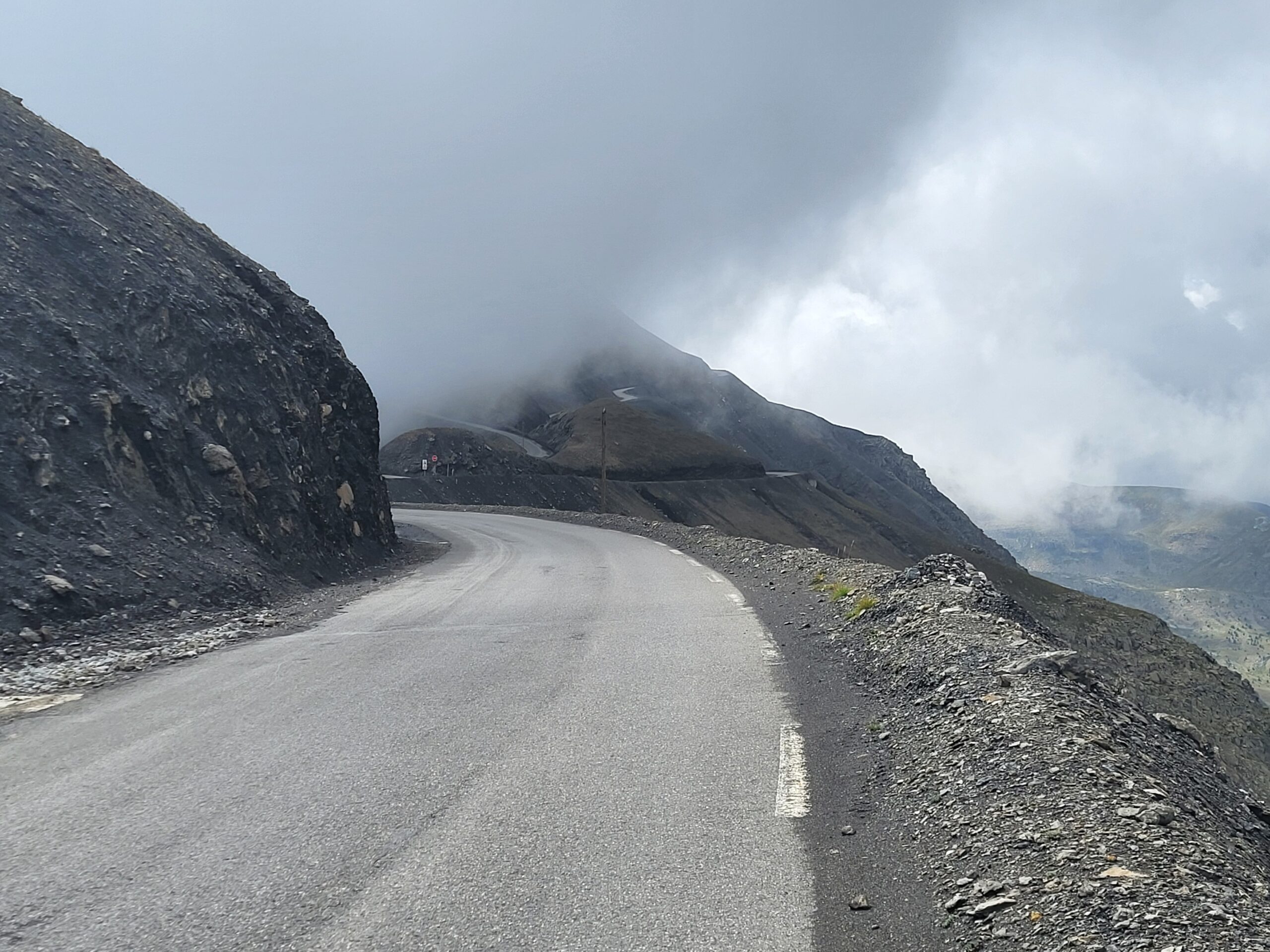
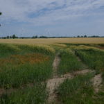
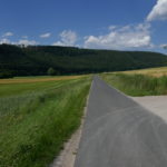
After all the rain the night before it was a cool morning, but after a couple of minutes biking up you’re warm enough. The easy bit is at the beginning and km 20-22 otherwise 6-12% steepness. I drove like in a trance sort of knowing what was coming (from last year). After 11km a short stop at the Bavette and carried on. You pass the 2000m altitude. It was quite cloudy and so cold you didn’t want to stop. Finally it flattens out and you can see the first Col. Nothing fancy just a turn around a cliff ( like through a hole cut into the ridge). From there on quite steep up to the highest point.
There was no views as it was in a cloud. Took some photos and we helped somebody fixing their bike.
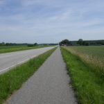
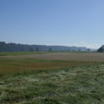
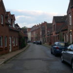
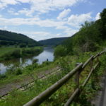
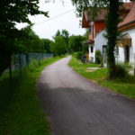
Then I started the downhill on the south side while Carsten stayed longer. It was very cold at start. The route down was really nice with nice bends you could take with good speed followed by hairpins first in open bare landscape and further down between the trees, waterfalls on the old-style road with small walls on the side (that would hold you or a car back). I was overtaken by a Dutch couple that drove crazy down the road overtaking the cars. After 25 km downhill I reached Saint-Etienne-de-Tinee just before Carsten arrived in the car. We had booked a hotel 3km outside 200m up a side road from the main road. At the time I was rather tired so after the first 150m upwards I put the bike in the car. It was also not the way to Nice. We arrived at the small skitesort Auron when it started raining. By the time we had checked in it was pouring down. The resort was empty with only 2 restaurants open and no bar.
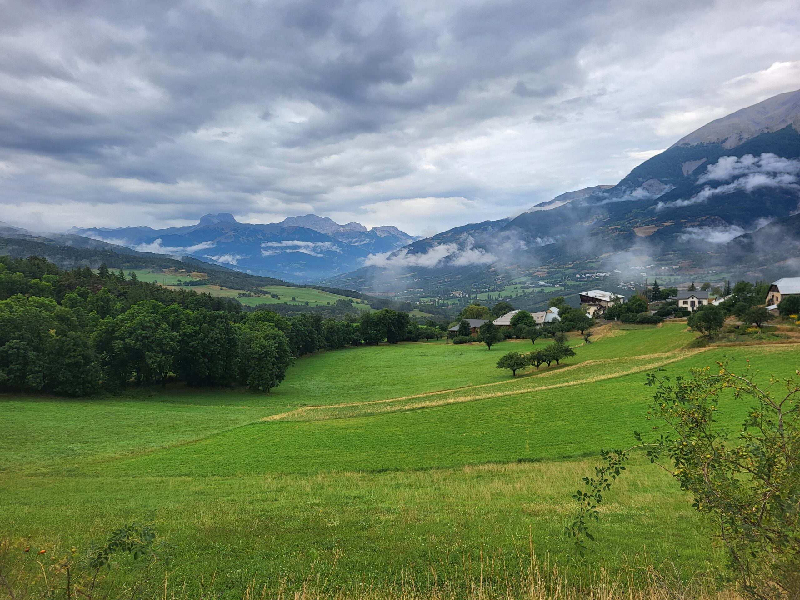
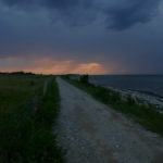
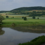
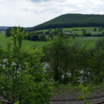
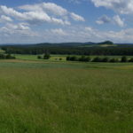
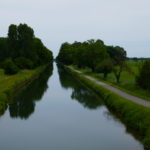
Clouds are moving around after the rain.
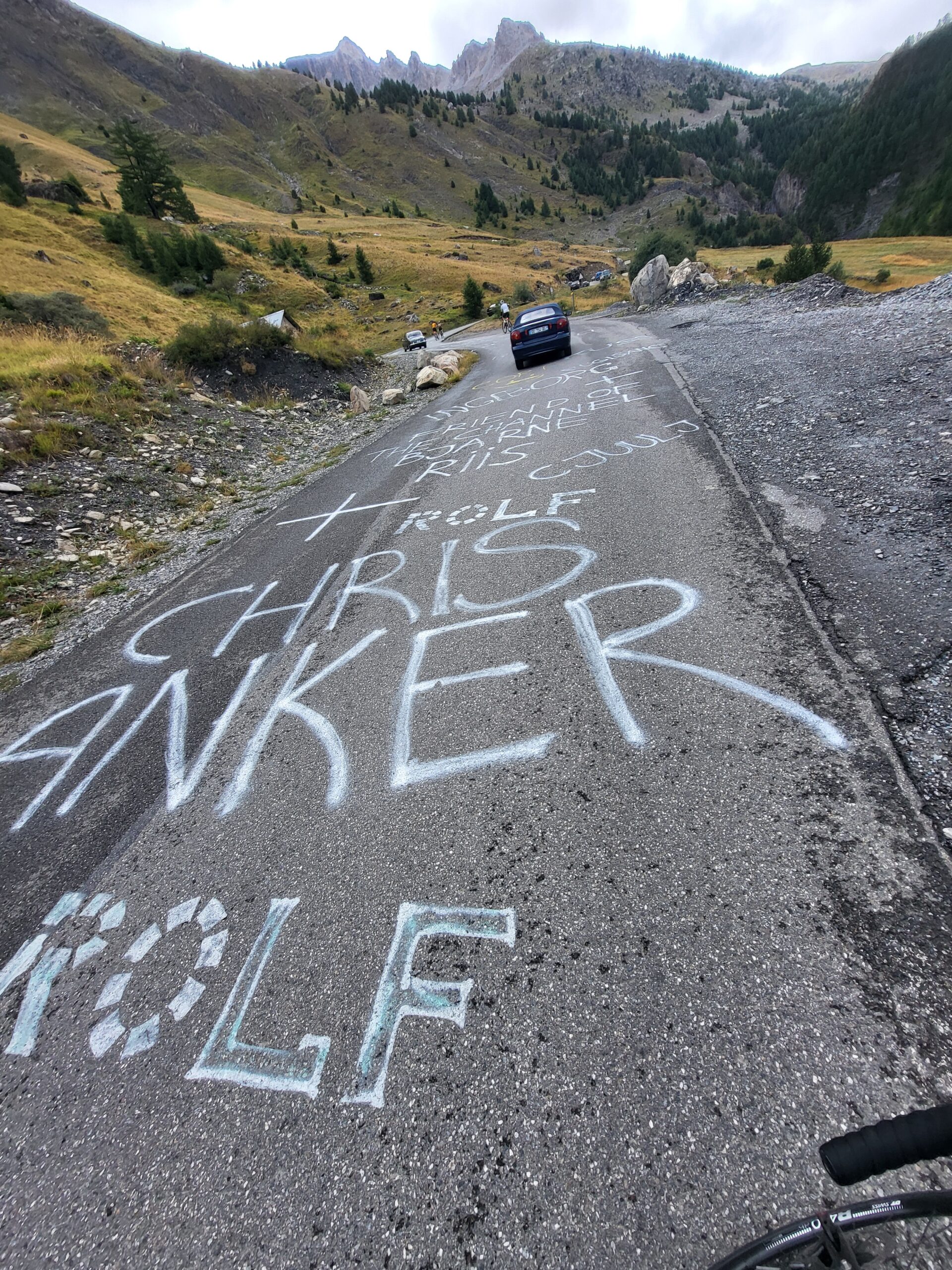
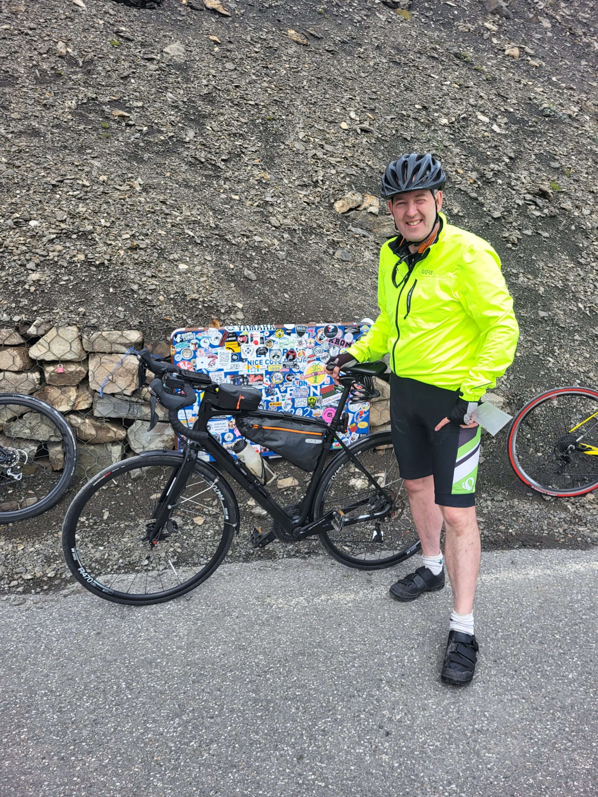
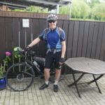
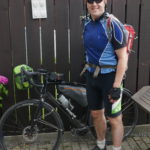
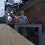
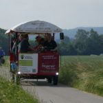
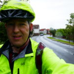
Danish bicycle heroes
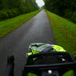
It is definitely getting colder. Only short stops.
Biking into the clouds at approx. 2700m.
Just a short hard climb to go.
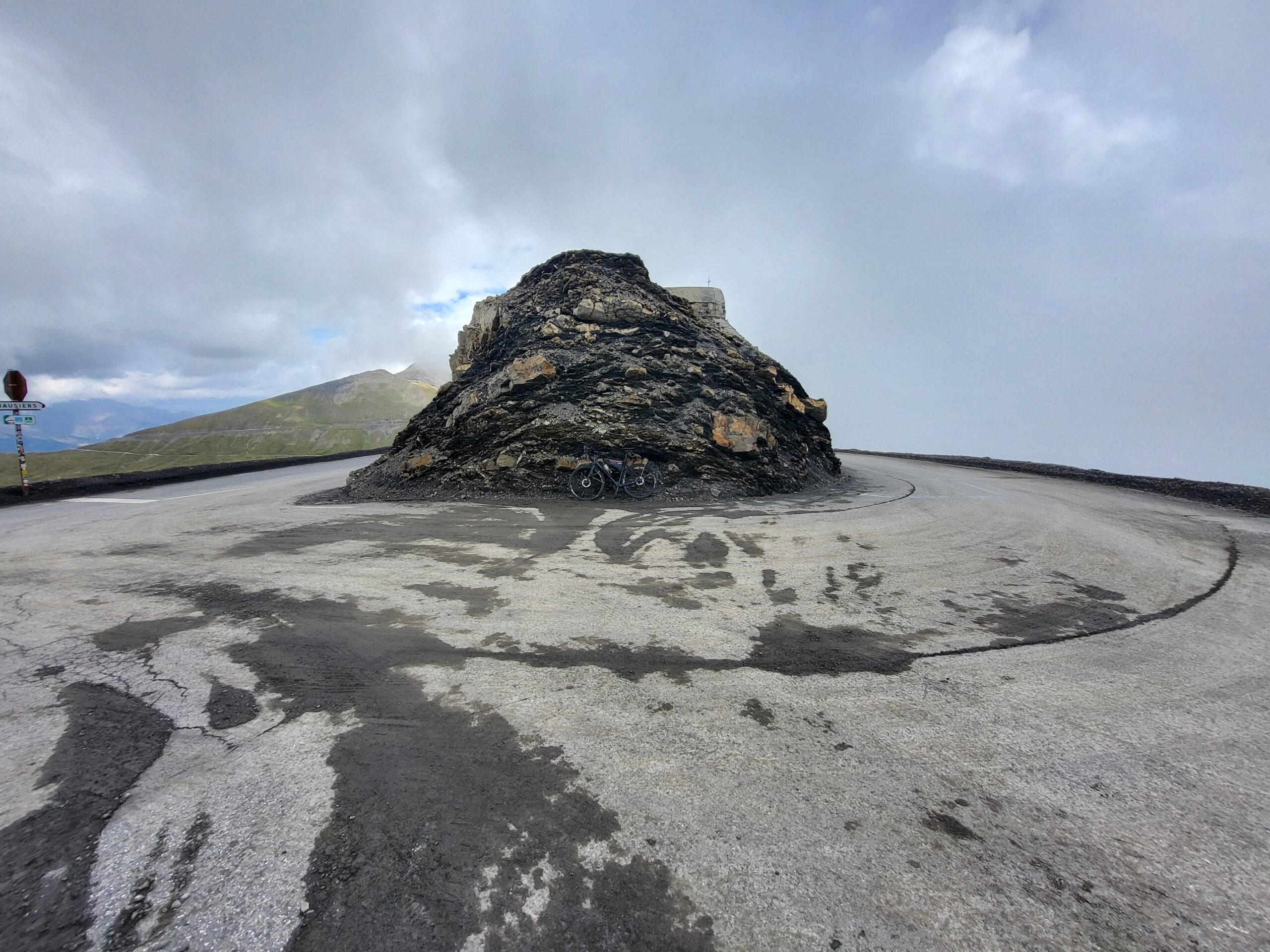
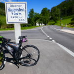
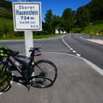
First pass at 2715m. There is approx. 1km from here to Col de Bonette.
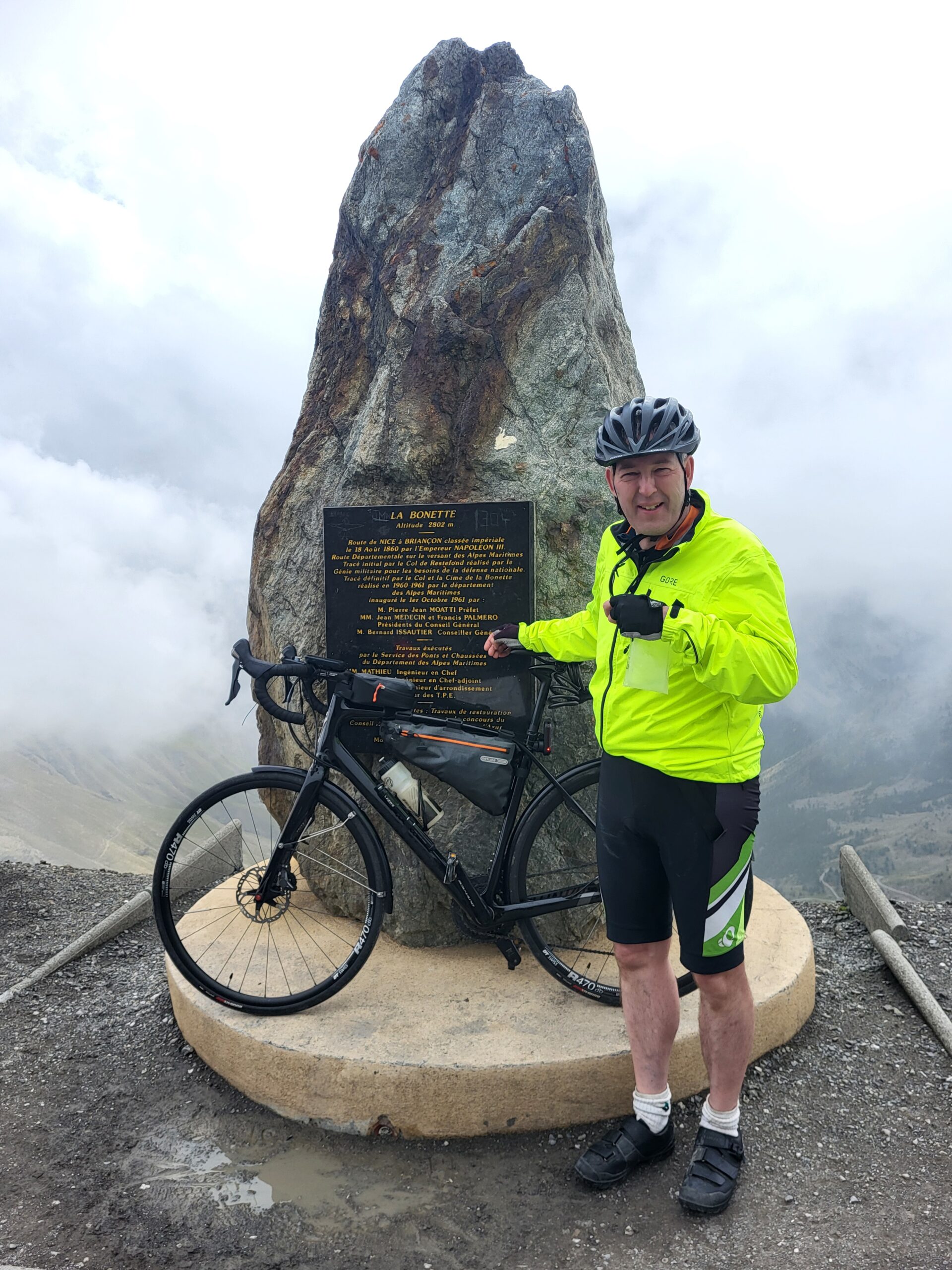
Arrived at 2802m Col de la Bonette. Releaved.
Max elevation: 2790 m
Total climbing: 1786 m


Leave a Reply